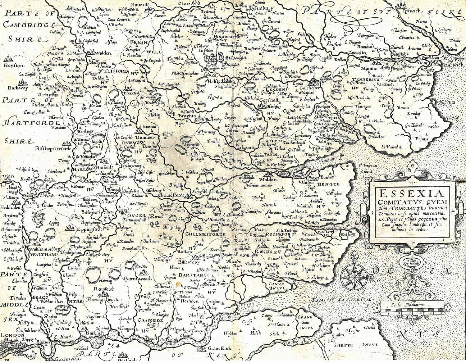
Essexia comitatvs, qvem olim trinobantes tenuerunt continens in se opida marcatoria
Map of Essex based on an early map Elizabethan Cartographer Christopher Saxton. Inspired by Saxton, William Camden (1551-1623) first published Britannia in 1586, with many subsequent edition. The 1610 edition was the first one to include a full set of English County maps.