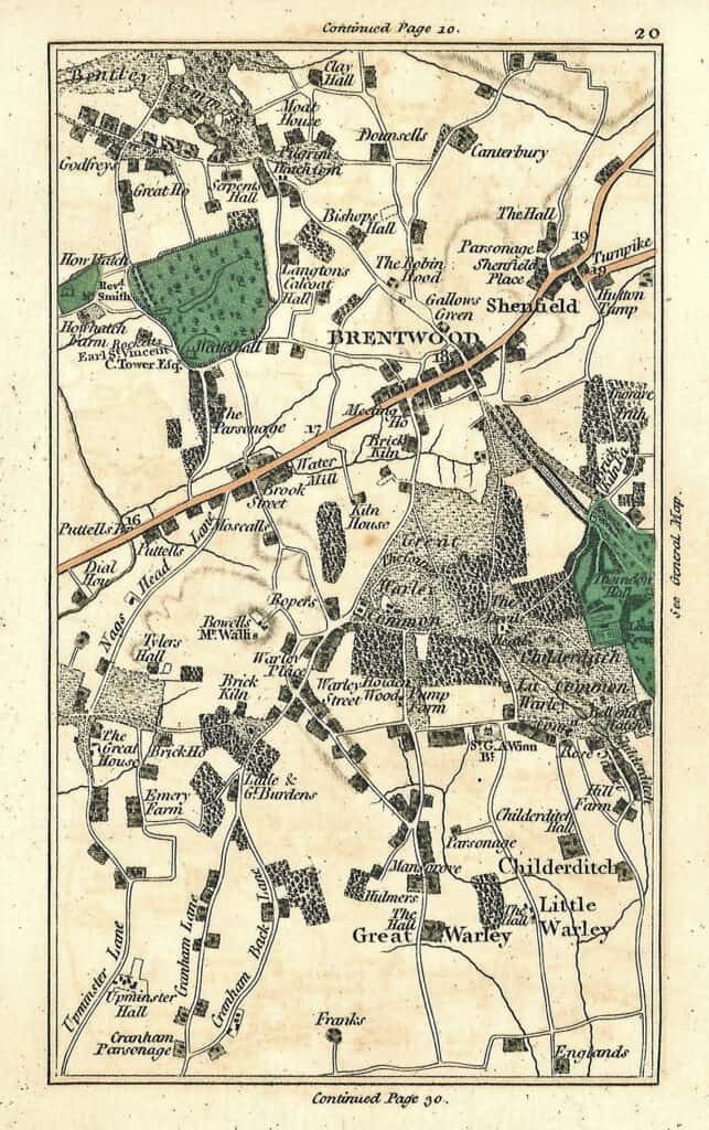
Page 20 of a map drawn by John Cary (1754-1835), who was a London Cartographer. This map is a page from the 1811 edition of Cary’s New Universal Atlas. whose several editions were published between 1808 and 1844. The map historian Ronald Vere Tooley praises the engravings of John Cary for being “elegant and exact.”